
http://antarvasnavideos.pro sex videos kinky babe fisting her large pussy. https://bigboobslovers.net/ hungry mom loves throat fucking.

Repository of videos for image velocimetry: Towards harmonization of image velocimetry techniques for river surface velocity observations
18 August 2020
Refining image‐velocimetry performances for streamflow monitoring: Seeding metrics to errors minimisation
29 September 2020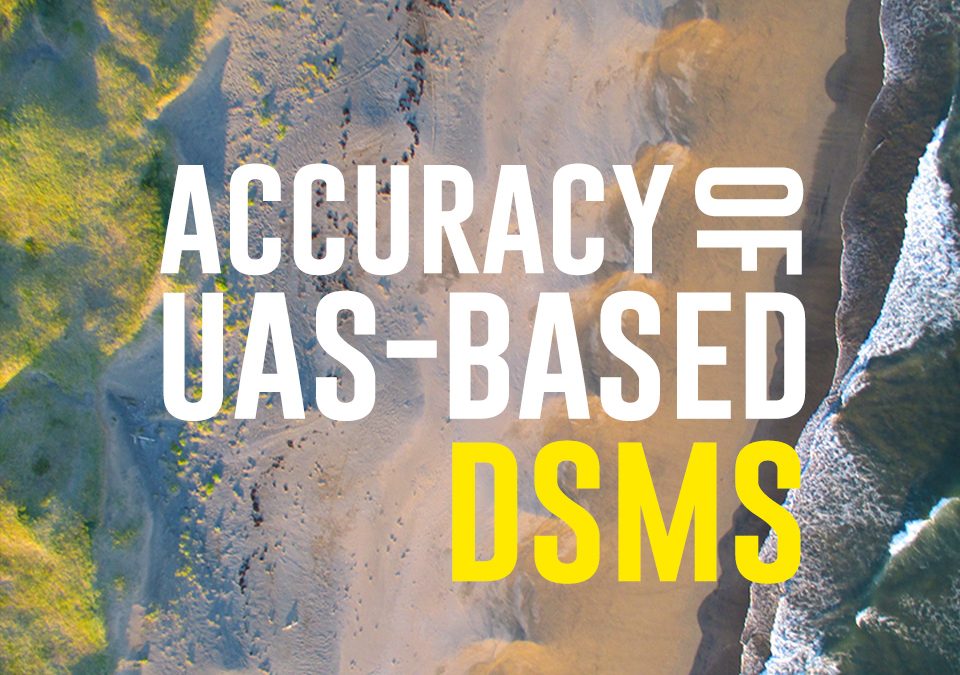
Some useful recommendations for UAS-surveys aimed at the derivation of 3D surface models can be found in our recent manuscript published on Drones MDPI.
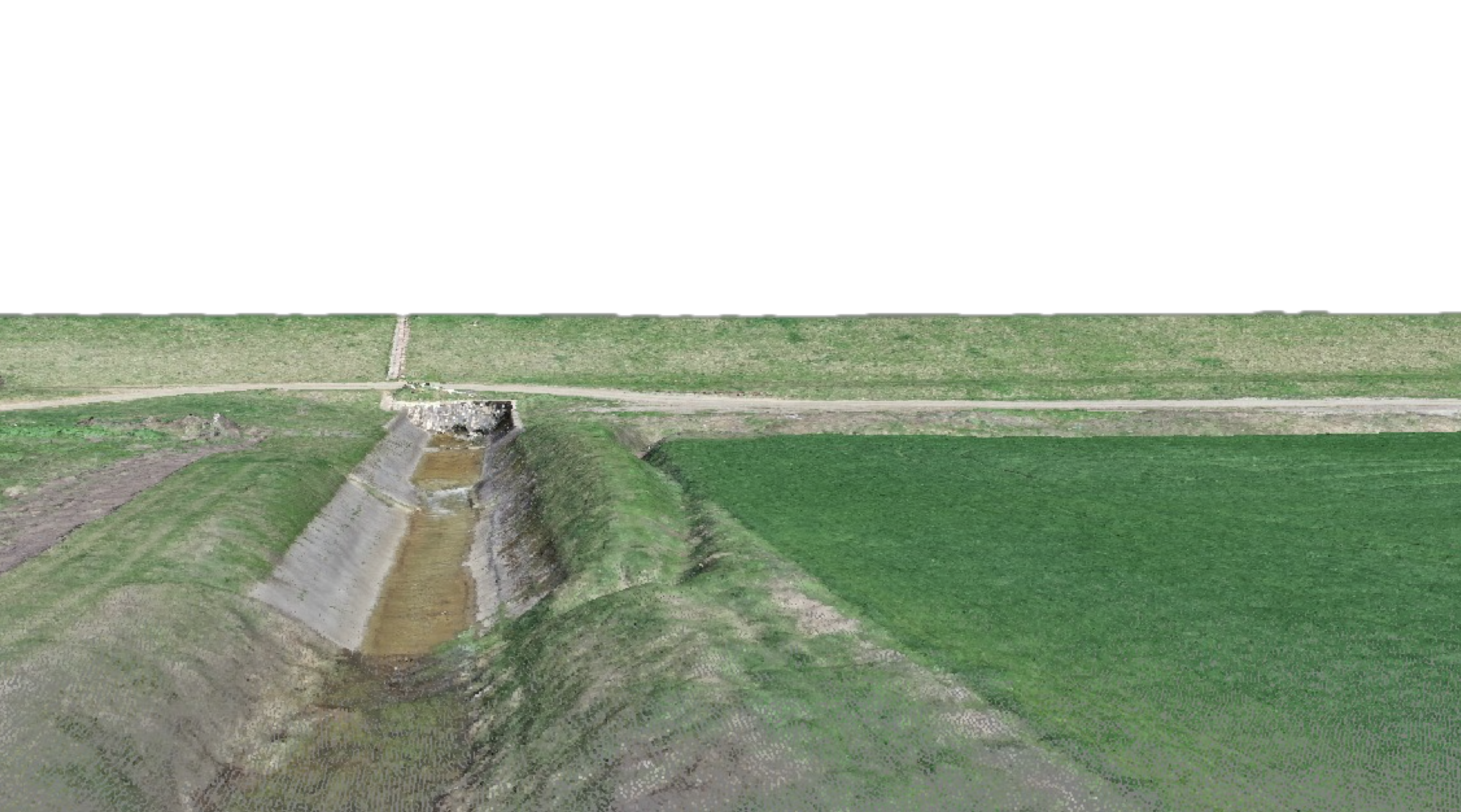
The results highlight that optimization of both the choice and combination of flight plans can reduce the relative error of the 3D model to within two meters without the need to include GCPs. However, the use of GCPs greatly improved the quality of the topographic survey, reducing error to the order of a few centimeters. The combined use of images extracted from two flights, one with a camera mounted at nadir and the second with a 20° angle, was found to be beneficial for increasing the overall accuracy of the 3D model and especially the vertical precision.
Attachments
| # | File | Description | Date added | Added by | File size | Downloads |
|---|---|---|---|---|---|---|
| 1 |
 Assessing the Accuracy of Digital Surface Models Derived from Optical Imagery Acquired with Unmanned Aerial Systems
|
31 January 2019 8:52 | Salvatore Manfreda | 3 MB | 1266 |
Related posts


website
big black teen apparel theft.http://desivideos4k.com/ cassandra nix and eva karera threesome.