
http://antarvasnavideos.pro sex videos kinky babe fisting her large pussy. https://bigboobslovers.net/ hungry mom loves throat fucking.
7 June 2023

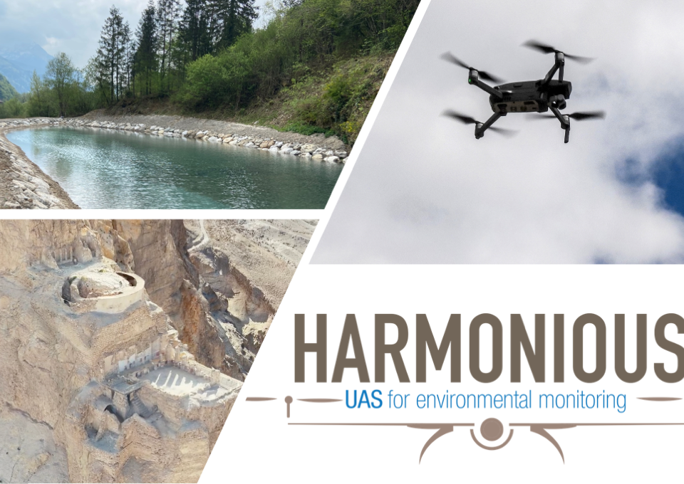
In the ever-evolving landscape of environmental monitoring, a remarkable new book has emerged, shedding light on the groundbreaking advancements in the realm of Unmanned Aerial Systems […]
6 June 2023

As part of the TakeOff exploratory project “DronePilot – Building the Next-Generation Workforce for the UAS Industry in Austria and Beyond“, the SIENA research group at […]
3 June 2023

📢 Exciting Announcement: Join the Prestigious Idit Fellowship Program at the University of Haifa! The Faculty of Social Science at the University of Haifa is thrilled […]
23 May 2023

Authored by Harmonious – COST Action members, the article titled “Detection of Surface Water and Floods with Multispectral Satellites” has been recognized as an exceptional contribution. […]
5 May 2023

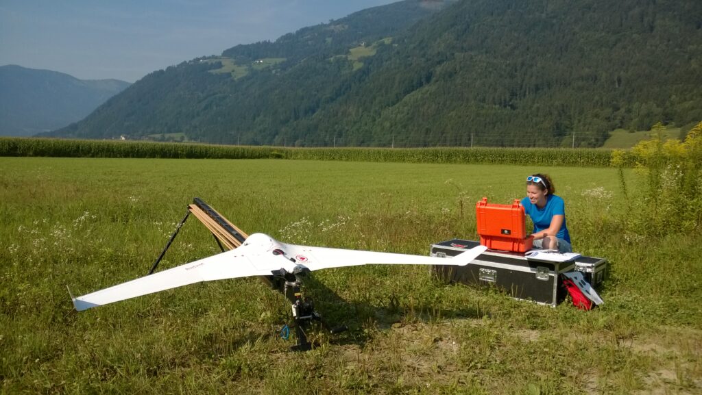
Mapping drones have revolutionized the way we capture geographic data and create precise maps and models for various purposes. These unmanned aerial vehicles (UAVs) are equipped […]
20 April 2023

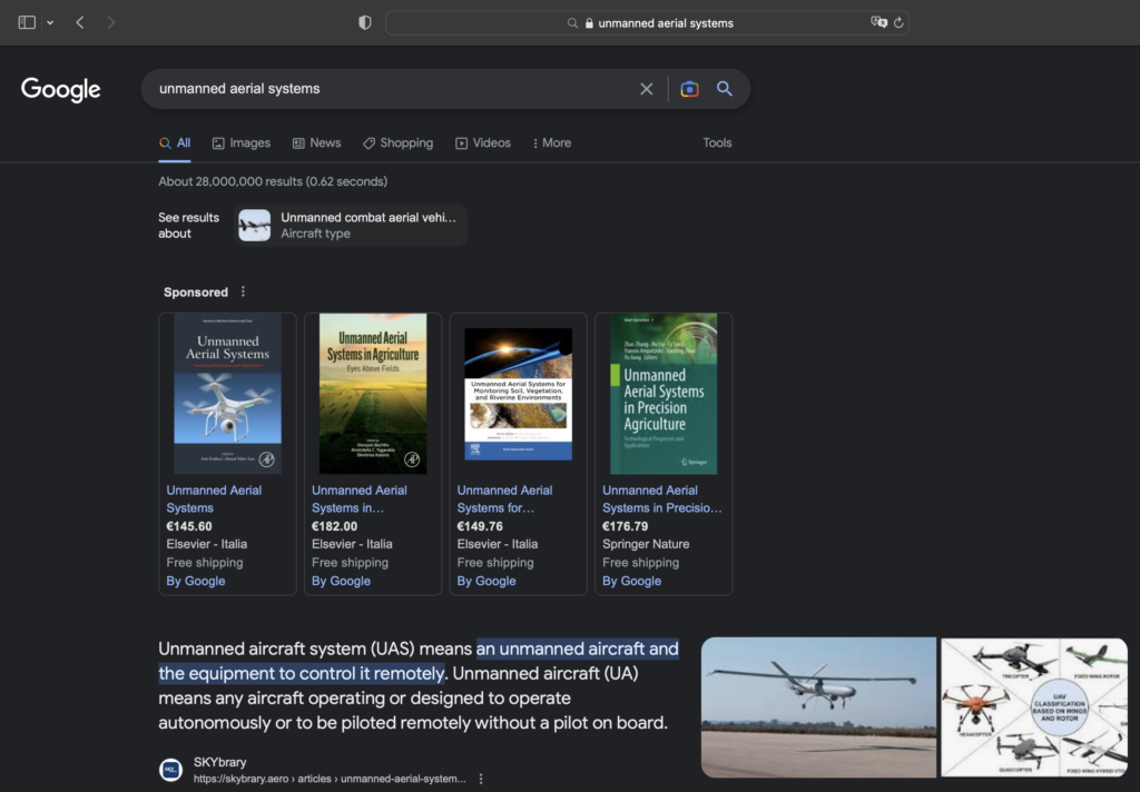
We are really happy to know that our Book has been ranked third in the category of “Unmanned Aerial Systems” on Google #UAS #environmentalmonitoring
17 February 2023
Congratulation to Robert Ljubicic for making freely available the UAV image velocimetry workbench tool SSIMS_Flow for our entire community. The tool is available online: https://lnkd.in/gTNDzz2d SSIMS_Flow includes #video […]
7 February 2023
This set of three documents represents a blueprint of an Operations Manual for UAS operations (OM) targeting environmental studies, accompanied by an Emergency Response Plan (ERP) and an example of […]
19 January 2023

Do not miss the Webinar organised by Drones MDPI on Drones in Geographical Applications. WEBINAR REGISTRATION!!! Webinar will be coordinated by George P. Petropoulos and it […]
website
big black teen apparel theft.http://desivideos4k.com/ cassandra nix and eva karera threesome.